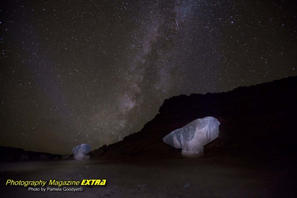
We traveled to Lee’s ferry, where we stayed for several days, photographing the Milky Way during the night and the amazing scenery during the day.
Lees Ferry Recreation Area is the official start of the Grand Canyon National Park at the Colorado River and is used as a fishing spot and raft launch. Lees Ferry is the only location inside Glen Canyon where you can access the Colorado River through the 700+ miles of canyon country. Lees Ferry Rest Area is a significant departure point for whitewater rafting trips in the Grand Canyon, which is said to provide a journey backward through time, with the Colorado cutting gradually across older layers. – READ THE FULL ARTICLES ABOVE
Lee’s Ferry Current Information Camping, Fees, Alerts.
COLORADO RIVER PHOTOGRAPHY AREAS
The Colorado River in Arizona is an awe-inspiring sight, with its majestic rapids, deep azure pools, and jutting red-rock walls. Photographers flock to the area to capture the beauty of its wild and untamed power and the variety of landscapes it offers. From ancient canyons to roaring waterfalls, the Colorado River captures and fills the imagination with wonder.
The Colorado River is one of North America’s most remarkable and captivating sights. This mighty waterway courses through some of Arizona’s most stunning terrain, carving its way through towering rock formations and plunging into deep pools along its path.
But its rich history and cultural significance truly sets this river apart. For centuries, the Colorado River has been a lifeline for indigenous peoples who have lived along its banks, providing sustenance and inspiration in equal measure.
Today, visitors to the area can still witness this legacy through the ancient petroglyphs etched into canyon walls and sacred sites dotting the river’s banks. The Colorado River is a natural wonder and a testament to human resilience and ingenuity throughout history.
As you navigate through its currents or explore its side canyons, take a moment to reflect on the significance of this mighty river. It has witnessed centuries of human triumphs and tragedies scattered throughout the region. The Colorado River is a natural wonder and a cultural landmark connecting visitors to the past and present.
Furthermore, the river is home to an array of unique species specially adapted to its harsh but rewarding environment. Whether you’re looking for sightings of rare birds dotting the river’s banks, the Colorado River area is great for photography. It is a natural wonder and a testament to human resilience and ingenuity throughout history.
As you navigate through its currents or explore its side canyons, take a moment to reflect on the significance of this mighty river. It has witnessed centuries of human triumphs and tragedies.
GLEN CANYON PHOTOGRAPHY SPOTS
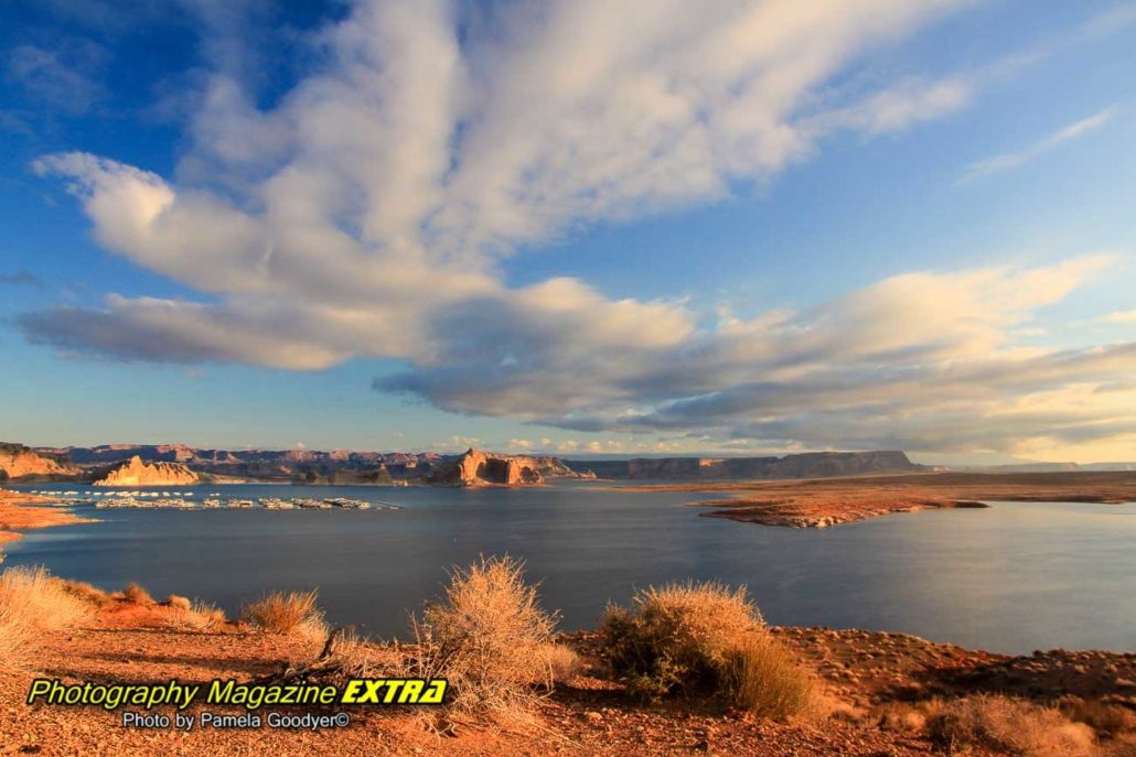
Glen Canyon in Arizona is a truly remarkable area. It is one of our favorites to photograph. It offers brilliant colors, rock formations that are unique to the region, and mesmerizing landscapes. The Canyon is a breathtaking sight that you want to take advantage of.
We were drawn to Glen Canyon for its diverse range of rock formations. And let me tell you, this place does not disappoint! From towering sandstone cliffs to smooth, rounded boulders and everything in between, we were constantly amazed by the sheer variety of geological wonders on display.
But it wasn’t just the rocks that made Glen Canyon so special. As we explored deeper into the area, we discovered a rich ecosystem full of vibrant plant and animal life.
MARBLE CANYON ARIZONA PHOTOGRAPHY AREA
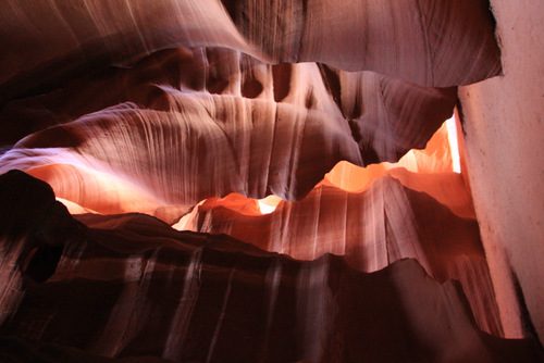
The Scenic Loop in Marble Canyon is a photographer’s heaven. It offers such diversity of terrain and vistas that one could spend days capturing its beauty on film: from the gorgeously variegated sandstone walls to the pooling water at the bottom, which creates perfect reflections, to the small details hiding just beneath the surface. The water level rises with snowmelt and rain, showing off new features every few months. Ancient Anasazi ruins are strewn throughout, adding mystery to this beautiful place.
VERMILLION CLIFFS PHOTOGRAPHY SPOT
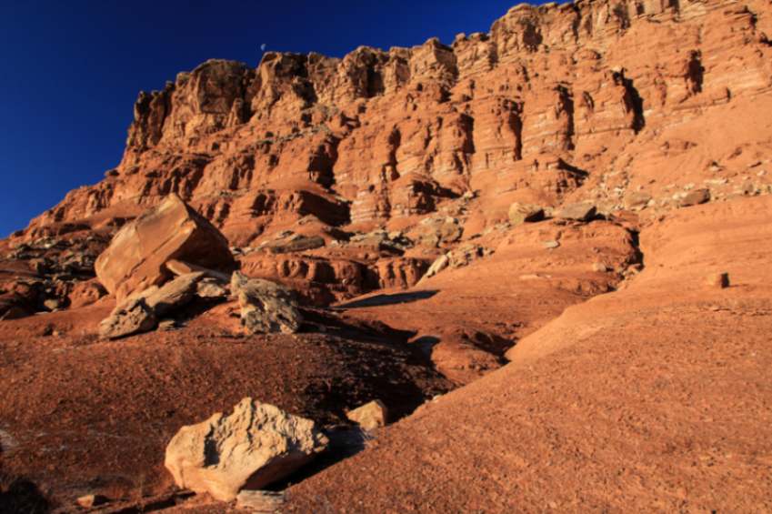
We found vermillion cliffs in different areas of Arizona. We love the cliffs near Lee’s Ferry, Arizona. The ridges are composed of multicolored sandstone layers eroded over millions of years. These cliffs are a natural wonder, and it is no surprise that they attract visitors worldwide.
These stunning rock formations hold essential clues to the Earth’s history. Each sandstone layer tells a story about a different period, allowing geologists to piece together the region’s geological history.
But there is more to these cliffs than just their geological significance. The Vermillion Cliffs are also home to a wide variety of unique wildlife species that have adapted over time to survive in this harsh environment. Photographing these cliffs is a treat, but observing the wildlife that inhabits them is truly a feast for the eyes.
One such species that call these cliffs home is the California condor. With a wingspan of up to 10 feet, this majestic bird was almost extinct only decades ago. The stunning vista Vermillion Cliffs offers is now one of the best places to observe these endangered birds in their natural habitat.
In addition to the condors, visitors can also spot rare species such as the desert bighorn sheep and coyotes. The cliffs are also home to various plant life, including cacti, wildflowers, and yucca trees.





 Photography, Lessons, Workshops and Classes.
